Topographical surveys
Topographical surveys
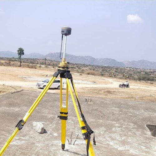
Topographical surveys are comprehensive land assessments that map the physical features and contours of a given area, providing a detailed overview of the terrain’s shape, elevation, and natural features. These surveys are vital for understanding land characteristics, including slopes, rivers, hills, roads, and vegetation. They are commonly used in construction, urban planning, environmental studies, and infrastructure development projects to ensure that projects align with the land’s natural topography.
Surveyors use advanced technologies like GPS, total stations, and drones to collect accurate data on the land’s surface. The resulting topographical maps are essential for designing structures, roads, drainage systems, and utilities while considering factors such as water flow, soil quality, and environmental impact.

Got a question? Call us on
Who Choose Us?
We offer reliable, high-quality services tailored to your needs, ensuring customer satisfaction with professionalism
Effective Team Work
At JBLand Surveyors, our team collaboratively, combining expertise and innovation to deliver precise survey solutions.
10 Years Experience
With 10 years of experience, JBLand Surveyors provides reliable, accurate surveying solutions for client satisfaction.
High Technology Factory
Equipped with state-of-the-art technology, our factory ensures precision, efficiency, and high-quality production for exceptional surveying services.
Customer Approach
We prioritize our clients’ needs, providing tailored solutions and exceptional service to ensure satisfaction and lasting relationships.

